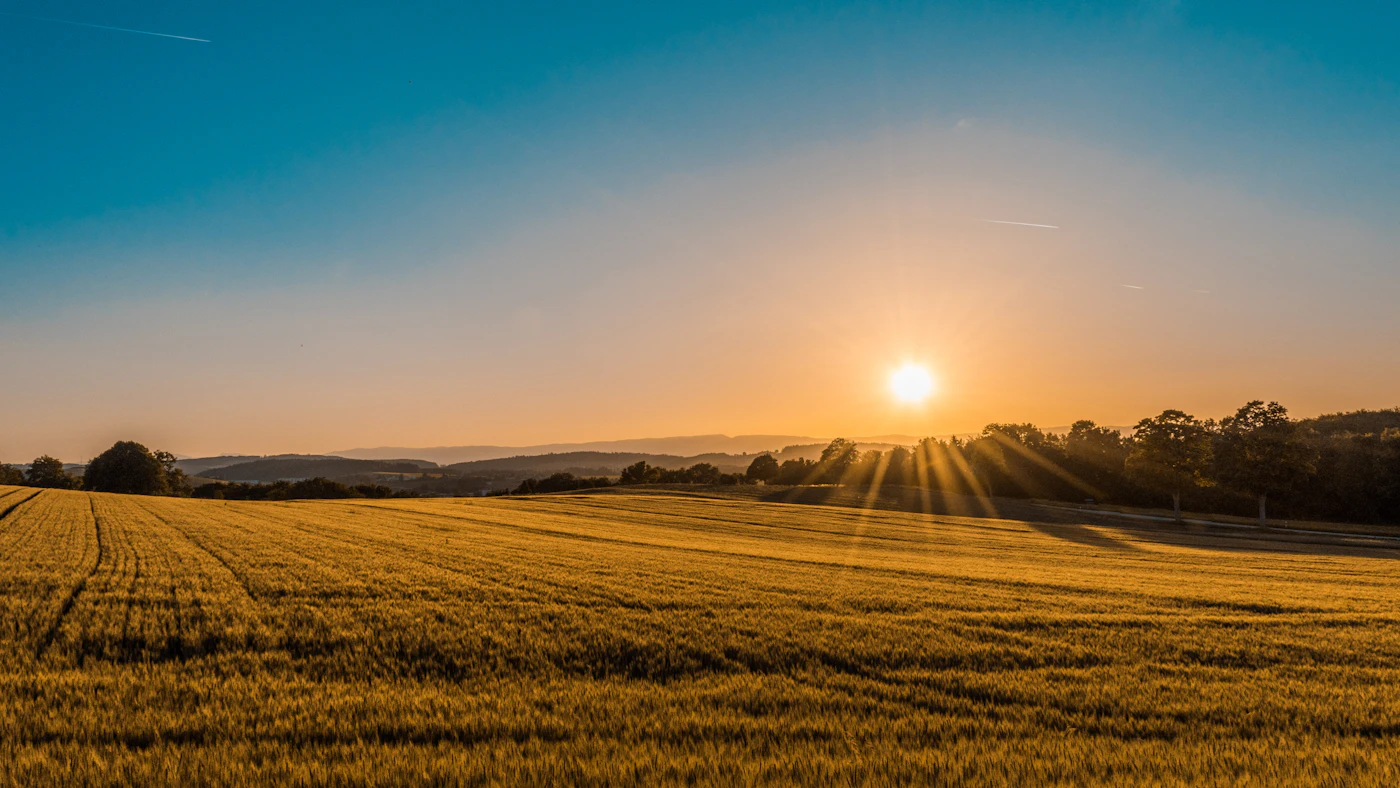
TN-165 / NC-143 climbs to over 5,400 ft across the Cherokee and Nantahala National Forests, with wide sweepers, panoramic overlooks at Hooper Bald and Santeetlah, and almost no commercial traffic. Stay near Tellico Plains, Robbinsville, or Murphy to ride or drive it end-to-end.
Cherohala Skyway visitor guide: what to know before you go
High-elevation scenic drive connecting Tennessee and North Carolina with sweeping overlooks. Here's the quick version — when to go, how long to plan, what it costs and how to fit it into a full day near Tellico Plains.
Dinner in Tellico Plains, then back to a stay close by so tomorrow starts without a long drive.
Distances are straight-line estimates, not driving routes. Confirm directions and hours before traveling.
Places to Stay Near Cherohala Skyway
Ranked by Stay Near Score™ — how well each stay matches your trip.
0 stays in the requested town · 0 nearby · 30-mile search area
Dates and rates must be confirmed with the owner. Distances shown are approximate straight-line distances; town-only locations have no property distance.
Loading reviewed stays…
For cabin & lodging owners
Your property here
Near Cherohala Skyway
Stay Near Score™
98/100
Example: a great match for Cherohala Skyway
Own a stay near Cherohala Skyway?
Don't fight the big booking sites on town keywords. Get ranked for the adventures guests actually plan trips around.
No booking commissions — guests book direct with you
We look at drive times, nearby experiences, attraction variety, property quality, and amenities to recommend the best overall stay for your trip.
Showing stays nearTap to swap experiences — stays re-rank instantly for your new pick.
Stay Near travel guide
A Guide to Driving the Cherohala Skyway in Tennessee
Updated November 2026 · 4 min read
The Cherohala Skyway is a 43-mile stretch of pavement that climbs through the clouds, connecting Tellico Plains, Tennessee, to Robbinsville, North Carolina. Unlike its famous neighbor, the Blue Ridge Parkway, this route offers wide, sweeping curves and a sense of isolation that is hard to find elsewhere in the Southern Appalachians.
Rising to elevations over 5,400 feet, the Skyway crosses through both the Cherokee and Nantahala National Forests. It is a bucket-list destination for motorcyclists and road-trippers who want panoramic views of ancient peaks without the commercial traffic or heavy crowds found in nearby national parks.
What to Expect on the Skyway
Driving the Cherohala Skyway feels like being on top of the world. The road is engineered with wide shoulders and long, smooth curves, making it a favorite for those who enjoy a rhythmic driving experience. Because there are no gas stations, restaurants, or stores on the 43-mile stretch, the landscape remains entirely wild.
You will encounter numerous overlooks, such as Hooper Bald and Santeetlah, where you can pull over to see layers of blue ridges stretching into the horizon. The air is noticeably cooler at the higher elevations, and the vegetation shifts from dense hardwood forests to high-altitude balds and spruce-fir zones.
Best Time to Visit for Views and Weather — read more
The Skyway is accessible year-round, but the window from May through October offers the most reliable conditions. In late spring, the mountain laurel and rhododendron bloom, painting the roadsides in shades of white and pink. Summer provides a cool escape from the humidity of the valley floors, as temperatures at the summits are often ten degrees lower than in town.
Fall is arguably the most popular time to visit. Because of the high elevation, the leaves begin to turn earlier here than in lower-lying areas. Peak fall color typically hits the higher ridges in mid-October, offering a vibrant display of reds, oranges, and yellows that you can see for miles from the overlooks.
Tips Before You Go — read more
Preparation is key because the Cherohala Skyway is truly remote. There is almost no cell service once you begin the climb, so download your maps for offline use or bring a physical road atlas. Most importantly, fill your gas tank in Tellico Plains or Robbinsville before you start; there is nowhere to fuel up once you are on the mountain.
Parking is available at most major overlooks and trailheads, and while the road is popular on weekends, it rarely feels congested. Pack a cooler with water and snacks, and bring a light jacket even in the summer. The weather can change rapidly at 5,000 feet, with fog or rain rolling in unexpectedly.
How Long to Plan & Sample Itinerary — read more
You should set aside at least three to four hours for a round-trip drive, though a full day is better if you plan to hike or picnic. A great way to experience the area is to start your morning in Tellico Plains with a coffee and a full tank of gas.
Spend your morning climbing to the Tennessee state line, stopping at the Spirit Ridge Overlook for photos. By midday, reach the highest points like Hooper Bald for a short walk to the summit. In the afternoon, descend toward the North Carolina side for a late lunch in Robbinsville before heading back, or loop through the forest to see the river-level scenery.
Things to Do Near Cherohala Skyway — read more
The area surrounding the Skyway is a playground for outdoor enthusiasts. In the Cherokee National Forest, you can visit the stunning 90-foot drop of Bald River Falls, which is easily visible from the road. Just upstream is Baby Falls, a smaller but equally beautiful spot popular with kayakers.
The Tellico River and Citico Creek offer some of the best trout fishing in the region. If you prefer a slower pace, visit Tsali Notch Vineyard to enjoy local wines with a view of the mountains you just drove. For those willing to hike, the Wesser Bald Fire Tower provides a 360-degree vantage point of the Nantahala National Forest.
Getting There & Scenic Drives — read more
The Tennessee entrance to the Skyway is located in Tellico Plains, accessible via TN-165. From the North Carolina side, you enter via NC-143 near Robbinsville. If you are coming from Murphy, NC, it is a scenic drive through the valley to reach the eastern terminus.
For a longer adventure, many travelers combine the Cherohala Skyway with the Tail of the Dragon (US-129) to create a loop. However, the Skyway is much more relaxed than the Dragon, focusing on sweeping vistas rather than tight, technical hairpins.
Where to Stay Near Cherohala Skyway — read more
To get the most out of your trip, we recommend staying as close to the Skyway as possible to maximize your time in the mountains. Tellico Plains offers a quiet, small-town atmosphere with mountain cabins and riverfront lodges that put you minutes away from the start of the climb.
When looking for lodging, consider the drive time to the trailheads or overlooks you most want to see. We always suggest booking directly with local hosts or property managers. This often ensures you get the best rate and allows you to ask the locals for up-to-date road conditions or hidden gems that might not be on the standard tourist maps.
Quick answers
Is the Cherohala Skyway free to drive?
Yes, there are no tolls or entrance fees to drive the Cherohala Skyway.
Are there gas stations on the Skyway?
No. You must fuel up in Tellico Plains, TN, or Robbinsville, NC, before starting the 43-mile drive.
Is the road open in the winter?
The road is open year-round, but it is not maintained at night during winter storms. High-elevation snow and ice can make it impassable, so check weather reports.
Is the drive safe for RVs?
Yes, the road is wide with gentle grades and no low tunnels, making it accessible for most RVs and trailers.
While you're here
Restaurants, guides, and outfitters near Cherohala Skyway.
Advertise to travelers
Your business could be here.
Restaurants, guides, outfitters, shops — reach travelers actively planning a trip to Cherohala Skyway.
TN-165 / NC-143 climbs to over 5,400 ft across the Cherokee and Nantahala National Forests, with wide sweepers, panoramic overlooks at Hooper Bald and Santeetlah, and almost no commercial traffic. Stay near Tellico Plains, Robbinsville, or Murphy to ride or drive it end-to-end. Difficulty: Moderate.
Why visit Cherohala Skyway
Travelers come to Cherohala Skyway for high-elevation scenic drive connecting tennessee and north carolina with sweeping overlooks.. May–October (fall color peaks mid-October) is the most popular window, but the experience rewards visits across multiple seasons. It's a strong family pick — accessible for most ages and easy to combine with other stops nearby. Photographers favor early light and quieter weekday mornings, and the location pairs naturally with other scenic drives & overlooks stops in the region.
What to do nearby
Within an easy drive you'll find Cherohala Skyway, Cherokee National Forest, Bald River Falls, Baby Falls. Most travelers build a long weekend around two or three experiences plus a town for dinners — pair Cherohala Skyway with the closest ones below for a full itinerary.
Stay Near ranks lodging around Cherohala Skyway by how well each property fits your trip — distance, drive times to nearby experiences, amenities like hot tubs or kitchens, and walkable dining. Add the experiences you want most to the bar above, and the Stay Near Score™ re-orders the list so the top result is the best base for your full plan, not just the closest cabin.
Cherohala Skyway is near Tellico Plains, TN. Address for directions: Cherohala Skyway, Tellico Plains, TN.
What else is near Cherohala Skyway?
Nearby favorites include Cherohala Skyway, Cherokee National Forest, Bald River Falls, Baby Falls.
When is the best time to drive Cherohala Skyway?
Clear mornings give the best views. Mid-to-late October brings peak fall color; winter weather can close high-elevation roads.
Is Cherohala Skyway worth visiting?
Yes — High-elevation scenic drive connecting Tennessee and North Carolina with sweeping overlooks.
How long should I spend at Cherohala Skyway?
Most travelers plan one to three hours. Add more time if you're combining it with nearby experiences or hiking longer trails.
Is Cherohala Skyway family friendly?
Yes — it's accessible for most ages and a popular family stop.
Are pets allowed at Cherohala Skyway?
Leash rules vary by property; check the official site before bringing a dog.
What's the best time of year to visit Cherohala Skyway?
May–October (fall color peaks mid-October)
Is there cell service at Cherohala Skyway?
Coverage is often spotty in the mountains around Tellico Plains. Download offline maps and directions before you leave town.
Where should I stay near Cherohala Skyway?
Cabins and vacation rentals around Tellico Plains, TN put you closest. Use the Stay Near Score™ above to compare direct-booking stays ranked for this experience and your wider trip.
Are there pet-friendly or hot tub cabins near Cherohala Skyway?
Often, yes. Add the experiences you want to the bar above and look for pet-friendly and hot tub details on each stay — book direct with the owner to skip booking-site guest fees.

 For cabin & lodging owners